GUINEA · FOUTA DJALLON
A place, a history, a heritage.
Explore the landscapes, villages and living heritage of Timbi-Madina in the heart of the Fouta Djallon highlands.
WELCOME
A place to discover. A heritage to pass on.
Located in the Pita prefecture of Guinea, Timbi-Madina is rooted in the history and landscapes of the Fouta Djallon. This website brings together the stories, places and people that shape its identity.
Across the territory
From landscape to landmarks, then to the map.
Discover
In the heart of Fouta Djallon
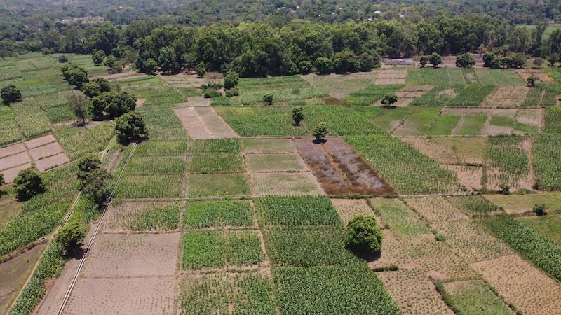
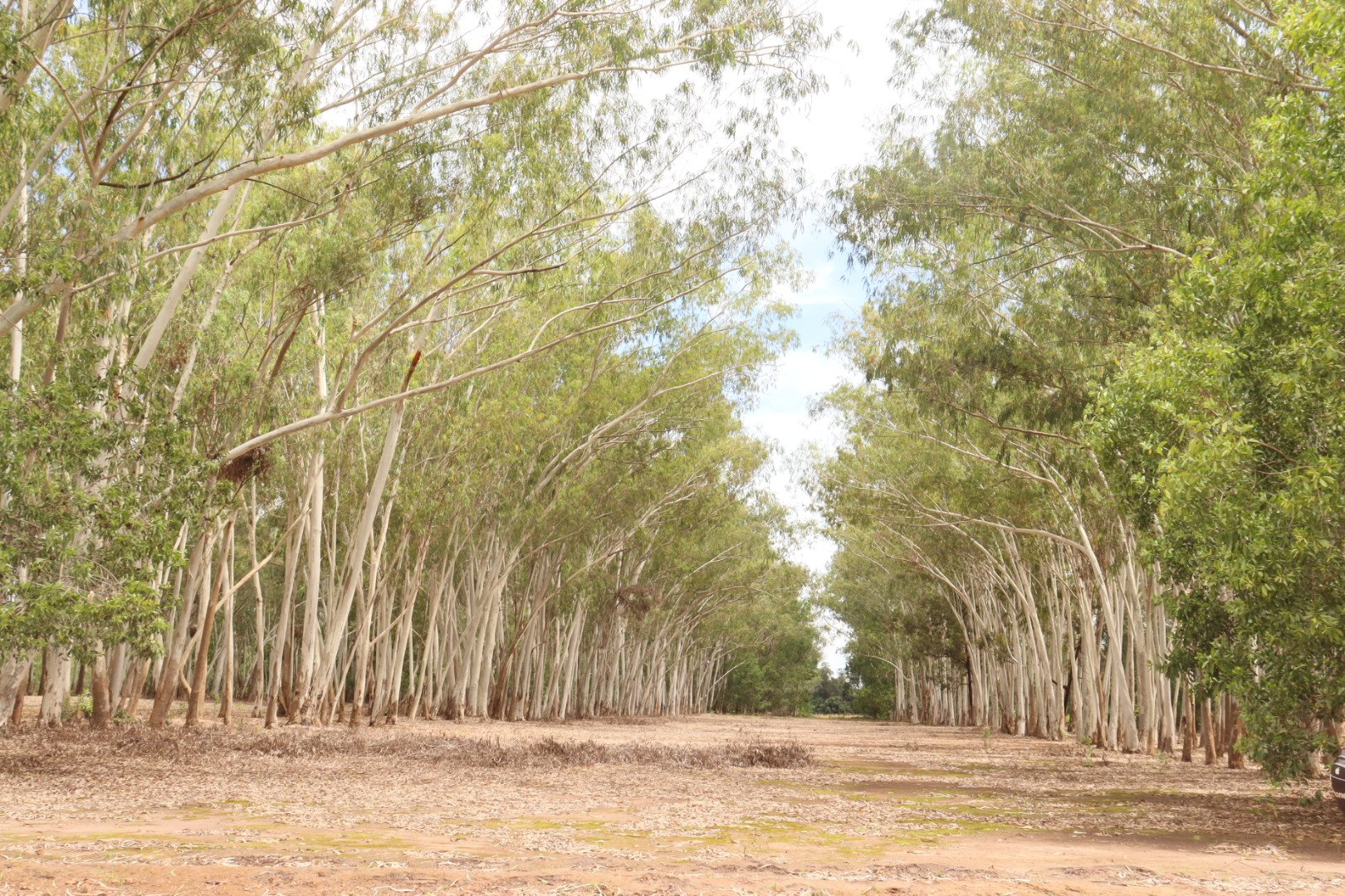
A sub-prefecture of Pita, Timbi-Madina lies within the landscapes of Fouta Djallon. Farmland and villages are part of everyday life shaped by agriculture, livestock farming and trade.
Sources
Source: undated local sources; editorial review in progress.
PLACING THE REGION
Timbi-Madina at a glance
- from Pita
- ≈ 30 km
- in area
- ≈ 300 km²
- elevation at the administrative centre
- ≈ 970 m
- districts recorded in the sources
- 14
Sources
Source: undated local sources, Geography section. Distances and measurements are indicative; the date of the territorial division remains to be confirmed.
Indicative map · Working document
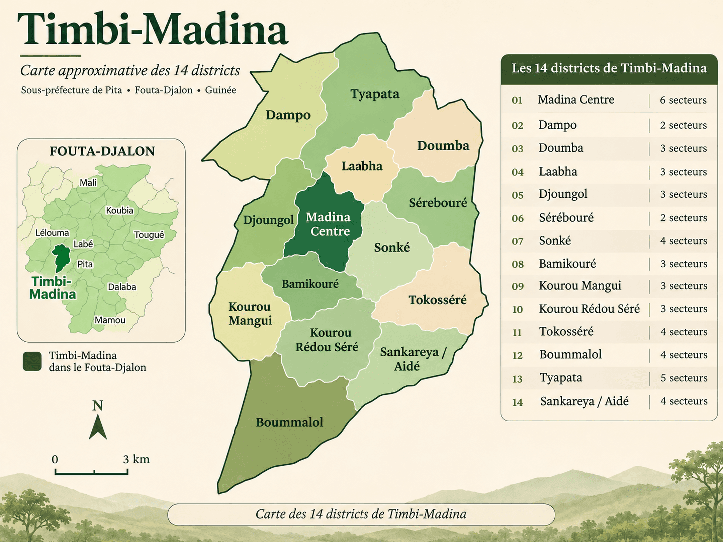
Finding your way around Timbi-Madina
Illustration supplied by the project owner. Boundaries, scale and names require confirmation; some spellings differ from the directory. Authorship and usage rights remain to be documented. This is not an authoritative administrative map.
View the map in Discover ↗Watch the film
Motherland - Timbi Madina (English)
HISTORY & MEMORY
From its origins to today
The local sources connect Timbi-Madina to the Diwal of Timbi, one of the provinces of the theocratic Fouta. They also preserve two traditions about the origin of its name: stories to pass on while retaining their different versions.
Sources
Source: undated local sources; editorial review in progress.
Historical milestones
Construction of the first French school.
Creation of the Timbi-Madina administrative post.
Launch of the Timbis development project, based on potato growing.
Sources
Source: original sources, Key events section. Milestones reported by the project owner, to be checked against archives.
Villages
Every village has a story
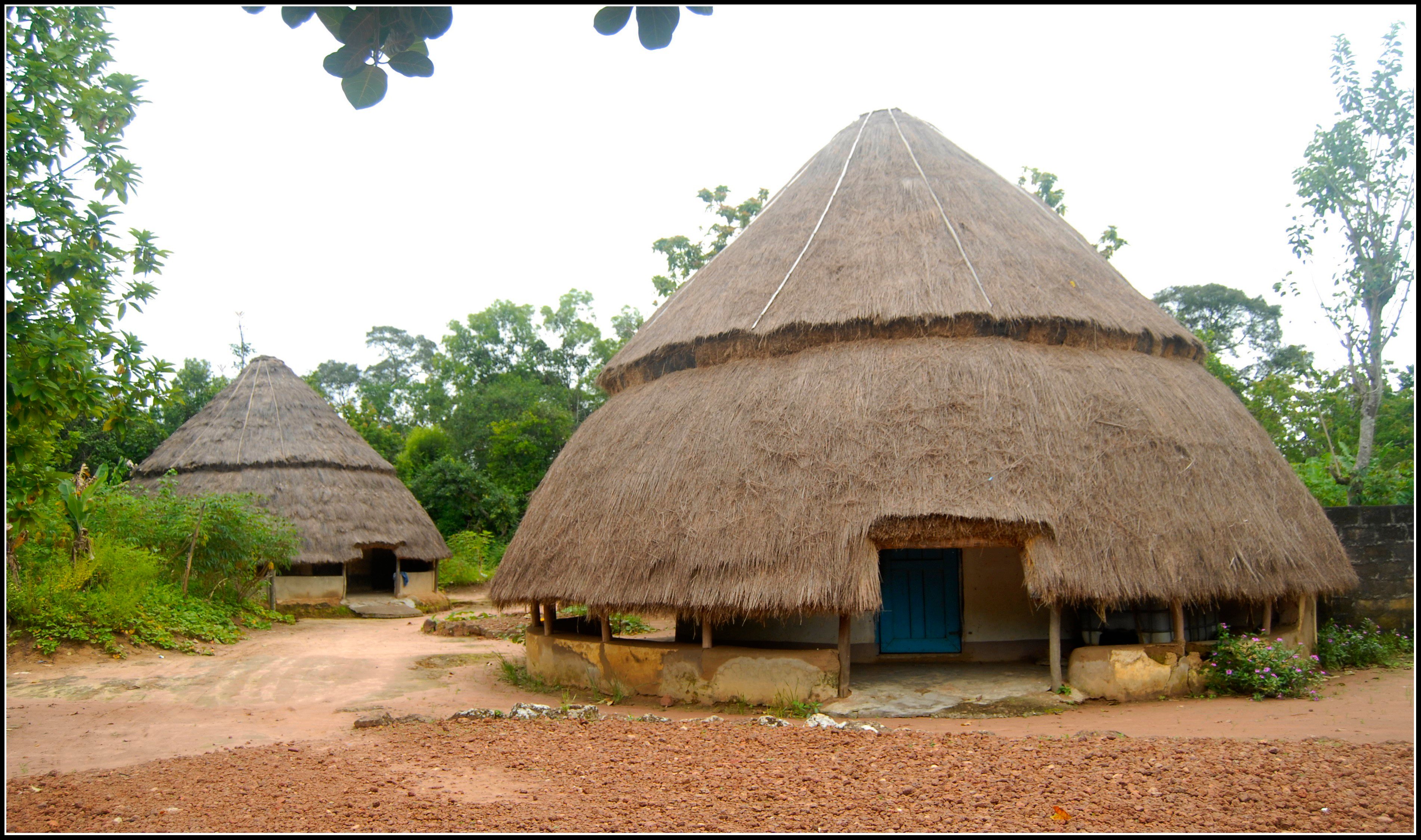
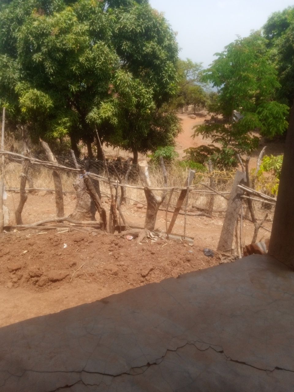
Dampo, Doumba, Tyapata: the local sources record Timbi-Madina’s districts and sectors. Their names and stories form a shared memory to document progressively, keeping this territorial organisation distinct from the former canton.
Sources
Source: undated local sources; editorial review in progress.
LAND & KNOW-HOW
A land that sustains and connects
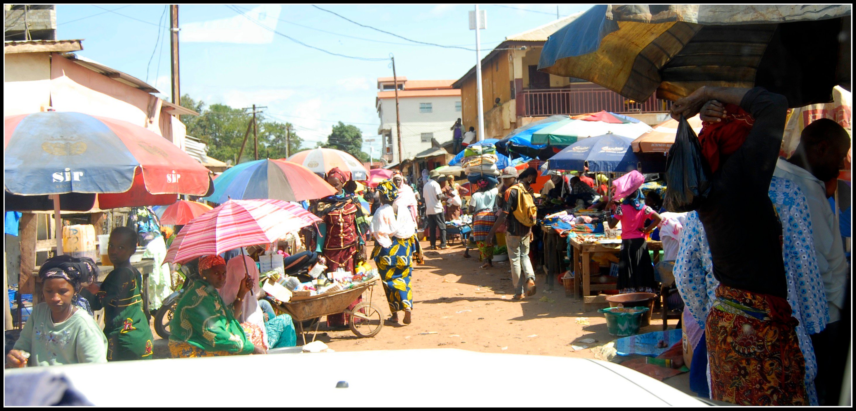
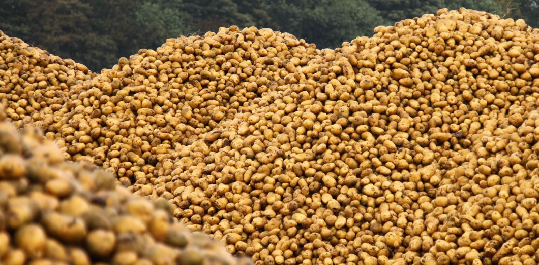
Potato growing features prominently in the sources about Timbi-Madina. Fonio, maize, tomatoes and aubergines are also mentioned, alongside livestock farming and trade: livelihoods and knowledge that shape local life.
Sources
Source: undated local sources; editorial review in progress.
Community life
Connections that sustain the region
Explore associations and initiatives spanning agriculture, youth and community life.

FPFD 
AJETIMA 
DSPJ 
AJDL 
UJADD
People
Lives that shaped our story
Meet women and men whose commitments, journeys and contributions are part of Timbi-Madina's shared memory.
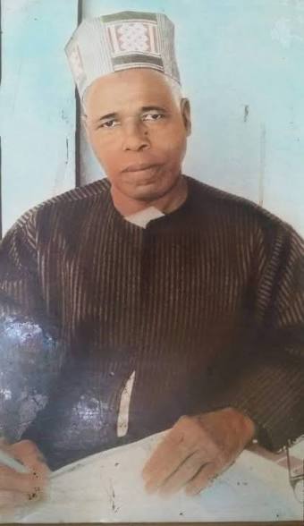
El Hadj Mamadou Maladho Diallo
Born in Timbi-Madina in 1927, he was an educator, public servant and author whose historical work brought oral traditions together with written sources. His biography draws on the supplied account and the records of his publications.
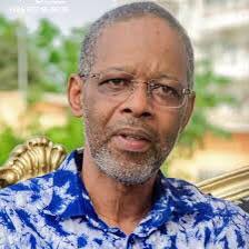
Amadou Thierno Diallo (ATD)
Guinean finance and international development expert, former senior official at the AfDB and IsDB, and former Minister of Cooperation and African Integration.
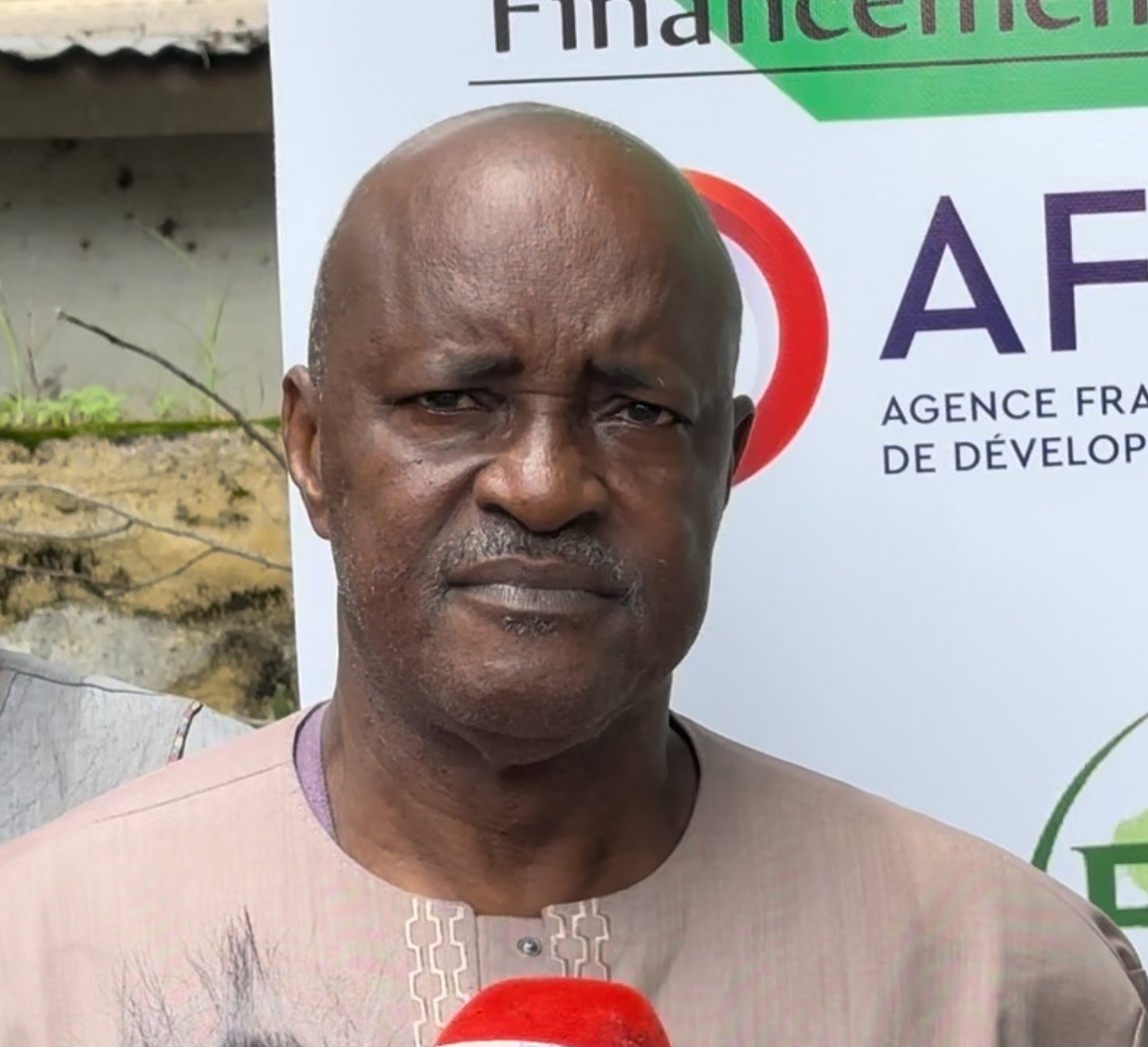
Moussa Para Diallo
A farmer leader from Timbi-Madina, involved in developing the FPFD, potato farming and farmers’ organisations.
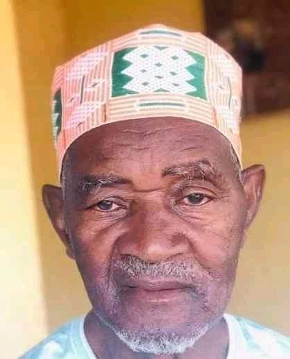
Elhadj Mamadou Cellou Gallé Diallo
A retired civil servant, former sub-prefect and CNT member, he chaired the Madina Centre district and served as honorary president of the FPFD.

Dr Boubacar Doumba Diallo
A Guinean mathematician and emeritus professor at Félix Houphouët-Boigny University in Abidjan, he taught in Guinea and Côte d’Ivoire.
Gallery
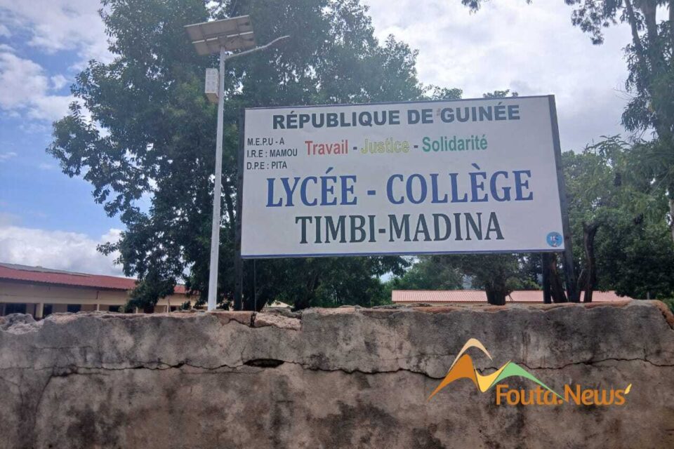
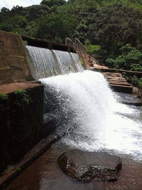
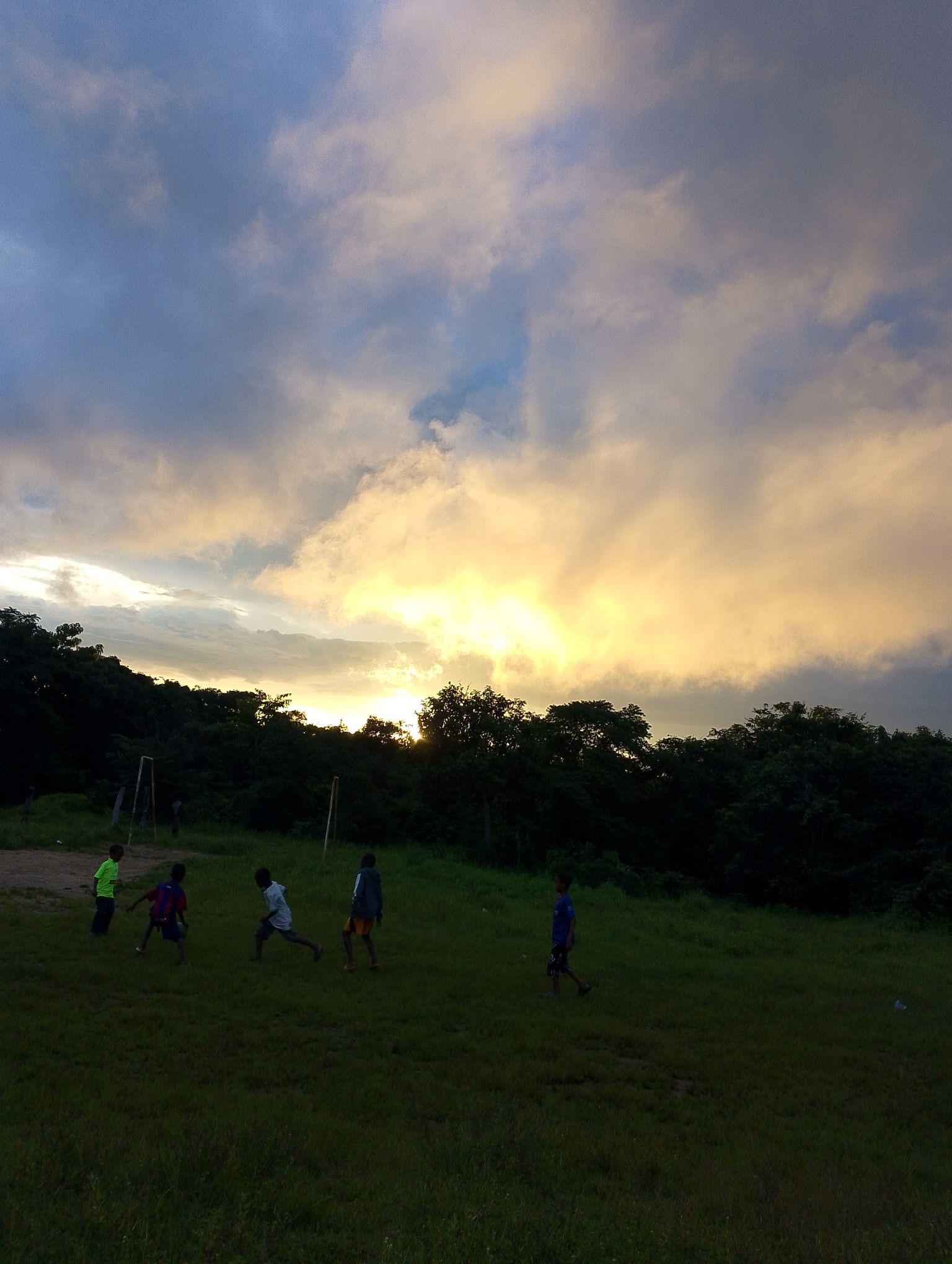
Timbi-Madina in pictures
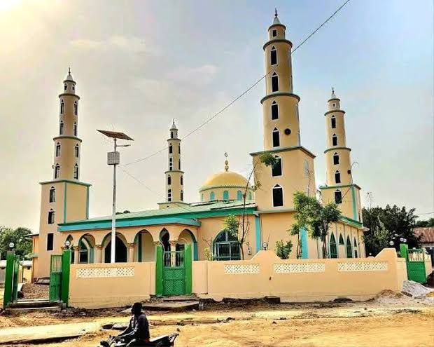
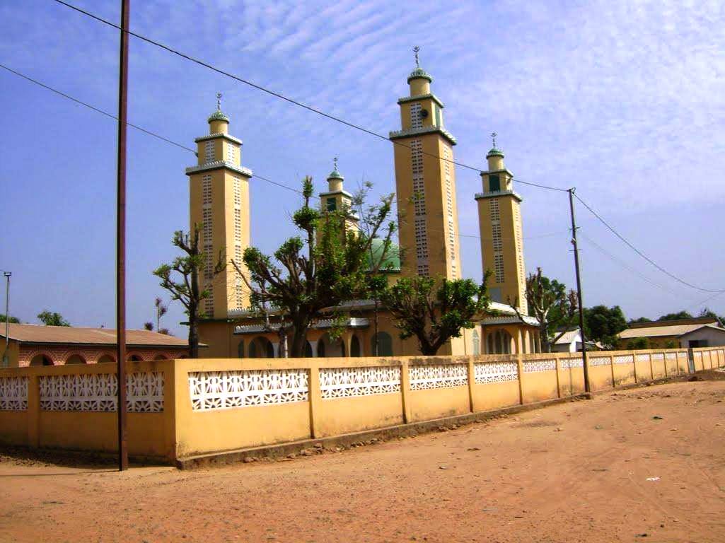
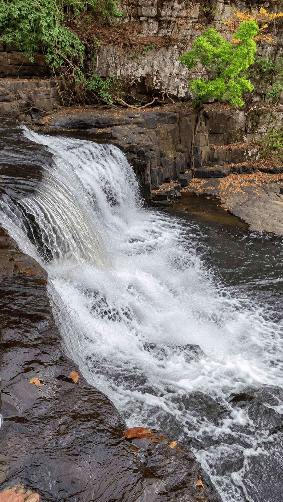
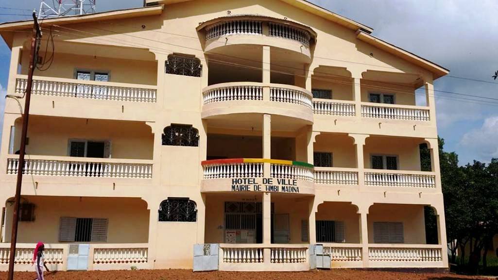
Landscapes, villages, everyday life and heritage: explore Timbi-Madina through the images that tell its story.
View the gallery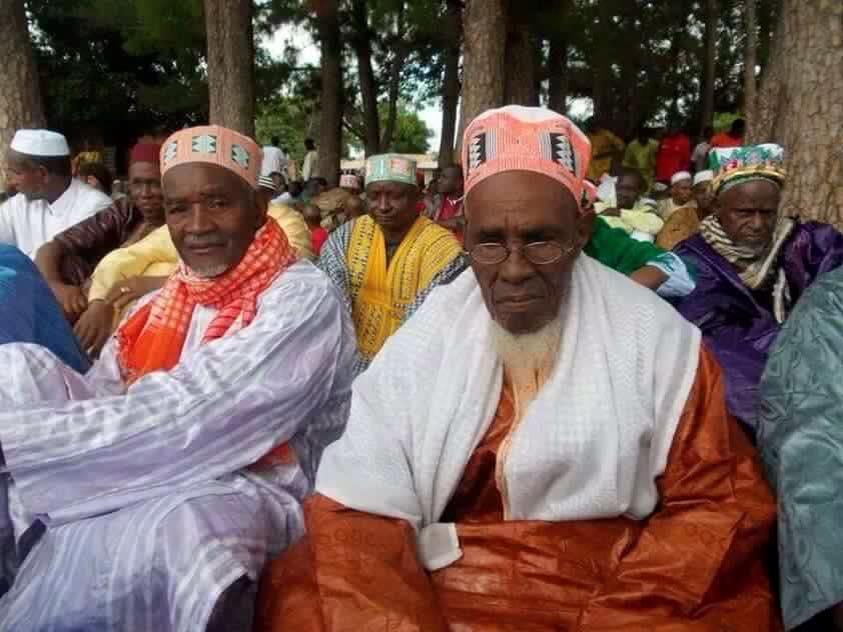
Heritage · Place · Transmission
Preserving memory. Sharing heritage.
Timbi-Madina.com invites you to discover a place and keep its stories alive.
Explore the website