- Madina 1
- Madina 2
- Madina 3
- M'Bourowi
- Sambia
- Touro
GUINEA · FOUTA-DJALLON
Discover Timbi-Madina
A place shaped by its landscapes, villages and people.
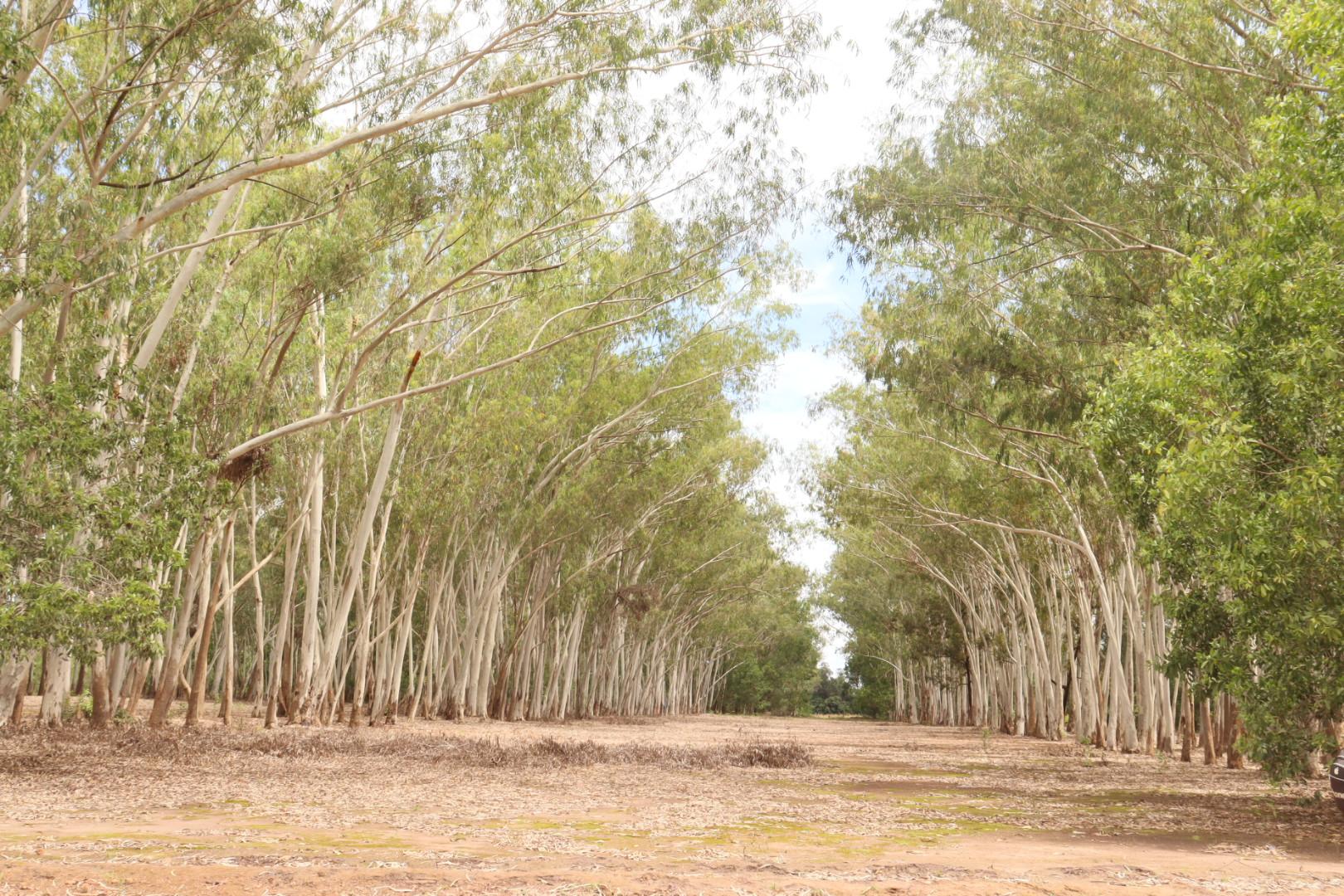
Explore the districtsThe tree-lined avenue · Douk10 · Sapin de Timbi Madina.jpg · Photograph source · CC BY-SA 4.0 · cropped
GUINEA · FOUTA-DJALLON
A place in the Fouta-Djallon
Timbi-Madina is a sub-prefecture in Pita Prefecture, Guinea. Located in the Fouta-Djallon highlands, it is shaped by its landscapes, agricultural activities and the history of its communities.
Watch the filmMotherland - Timbi Madina (English)At a glance
- from Pita
- ≈ 30 km
- from Conakry
- ≈ 390 km
- in area
- ≈ 300 km²
- elevation at the administrative centre
- ≈ 970 m
- districts
- 14
- sectors
- 49
Sources
Source: original sources, Geography. Indicative figures from undated sources; measurements and the date of the territorial division remain to be confirmed.
Indicative map · Working document
Finding your way around Timbi-Madina
Illustration supplied by the project owner. Boundaries, scale and names require confirmation; some spellings differ from the directory. Authorship and usage rights remain to be documented. This is not an authoritative administrative map.
14 districts, many stories to tell
Browse Timbi-Madina's districts and the sectors that make up each one.
14 districts · 49 sectors
- Dampo Centre
- Doghui
- Doumba Centre
- Houwani
- Telico
- Laabha 1
- Laabha 2
- Laabha 3
- Djoungol Centre
- Gallan
- N'Dire Djoungol
- Serebouré Centre
- Thiallou
- Sonké Missidé
- Yeradè
- N'dirè Sonke
- Lamiwel
- Bamikoure Raghabè
- Bamikoure Dembeleyabhè
- Ley Tollin
- Kourou Mangui Centre
- M'Boundou
- Kewi
- Kourou Reedousere Centre
- Dhogol
- N'danta
- Centre
- Pallè 1
- Pallè 2
- Toundoula
- Tokossere Centre
- Guèssè
- Morron
- Hamdallaye
- Tyapata Centre
- Gnaly
- Koggui
- Timbi Diari
- Holladè
- Samba Barry
- Baly
- Bowel
- Koura Balla
Sources
Source: original sources, districts and sectors. Spellings retained from the survey, distinct from the former canton’s 34 villages; survey date unspecified.
Places of memory
Places that hold memories
Two places mentioned in the project’s sources, explored through their stories.
HERITAGE FOCUS
Tyapata, a story to explore
Tyapata holds a particular place in accounts of Timbi-Madina. Local sources describe links with former chiefs’ residences and several communities associated with religious learning.
Sources
Source: original sources, History of the district of Tyapata. The heritage profile is not published at this stage.
Madina-Tokosséré
In Histoire du Fouta Djallon, El Hadj Maladho Diallo recounts El Hadj Oumar Tall’s stay in Madina-Tokosséré around the mid-nineteenth century. He records the local memory of a dwelling and a palm tree associated with that visit. Their present condition has not been verified.
Read the account and its sources ↗Timbi-Diari
Local sources associate Timbi-Diari, in the Tyapata area, with a longstanding religious tradition and a mosque that features in accounts of the Timbi region. The site’s precise history and chronology remain to be verified.
Read the account and its sources ↗LANDSCAPES & LOCAL LIFE
Cultivated lands, living knowledge
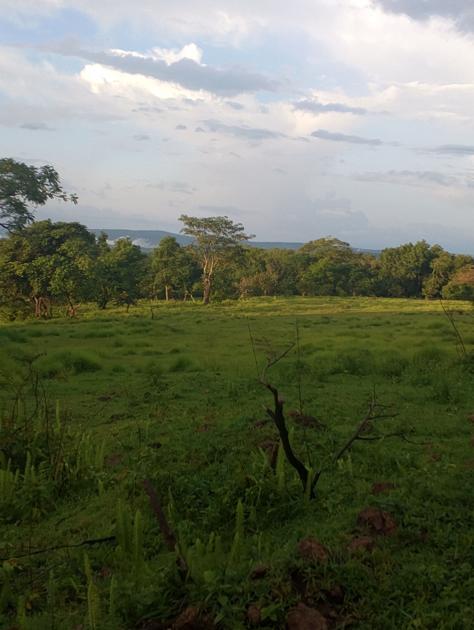
Agriculture and trade play a major role in Timbi-Madina. Potatoes, fonio, maize, tomatoes and eggplants are among the crops mentioned in the local sources.
Sources
Source: original sources, Agriculture and Economy. No production ratio is published without dated context.
Natural sites
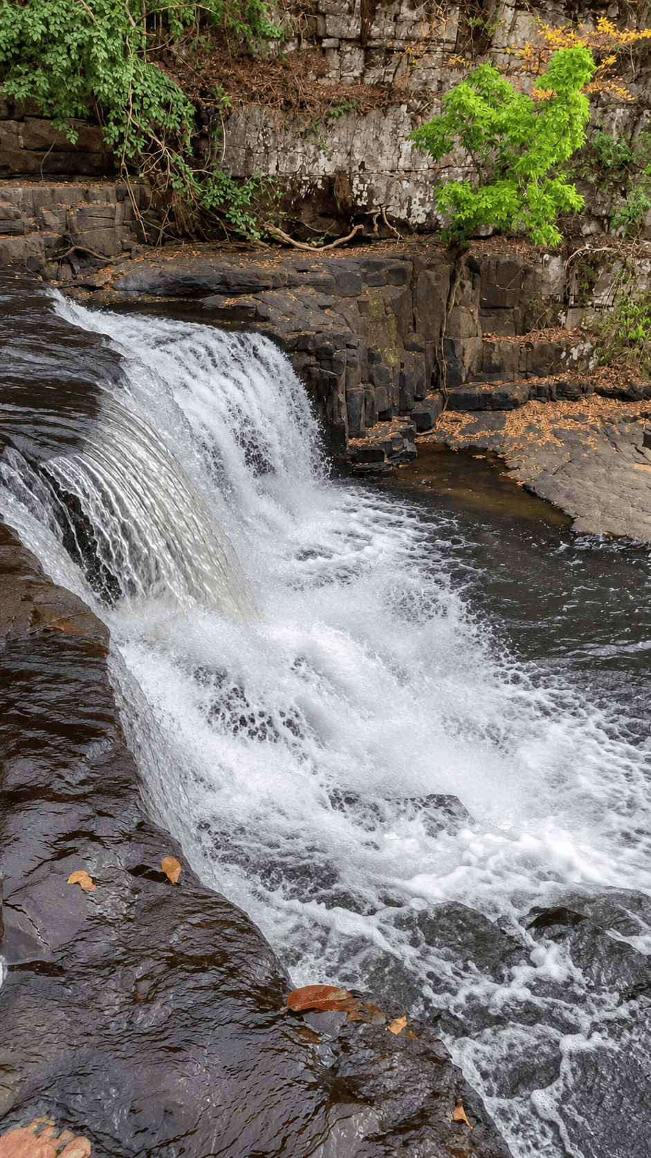
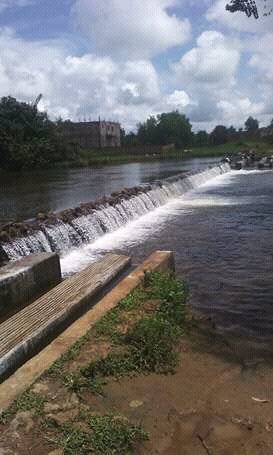
Soumaa and Feto Madina, waterside landscapes
Explore waterside landscapes through photographs supplied to the project.
Keep exploring
Explore more of Timbi-Madina through its history, heritage, local life and photographs.
Back to the homepage